LATEST TRAVEL
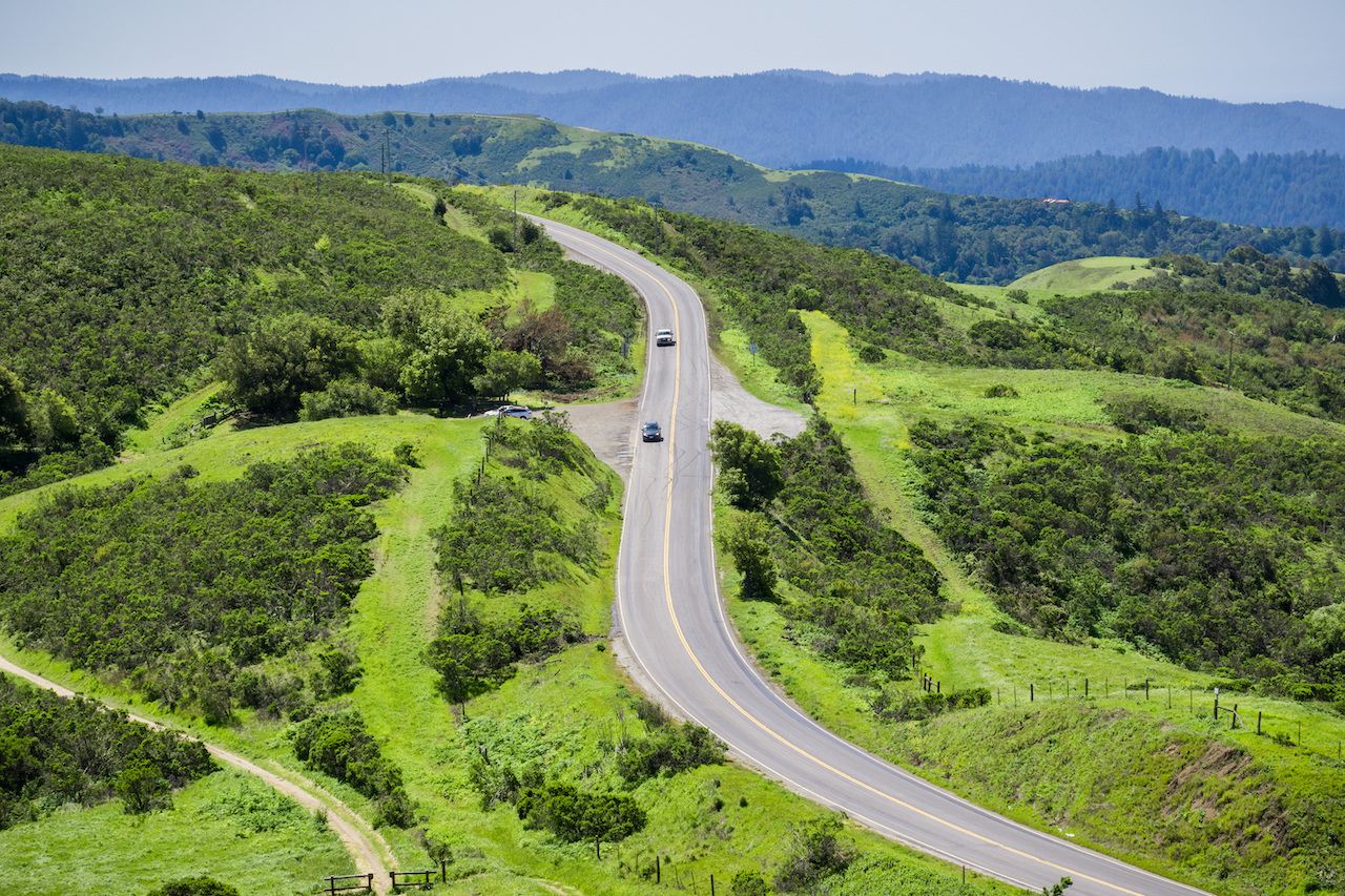
Road trips have never been more appealing, offering the liberating feeling of open space while keeping us far from crowds. Once you’ve checked California’s famed Highway 1 off your bucket list, there are plenty of other intriguing ways to traverse the Golden State.
Below, we’ll dive deep into three: The first passes wildlife refuges, skirts a national park, and offers quirky mementos of state history. The second skims the state’s much-less-traveled eastern boundary, taking you to the state’s two weirdest lakes and introducing you to Gold Rush lore. And, finally, in Northern California, roll down the windows and tour wine country, hippie towns, and one of the windiest, redwood-flanked roads we could find.
Mapping your journey
We’ve got some trips outlined below, but know that you can create your own road trip as well. The easiest way to do this is to choose your Point A and Point B on Google Maps and then select the option to “avoid highways.” Your projected drive time will quite possibly double, but remember: It’s not about getting to the destination. It’s about the journey.
More than one route is likely to pop up, so your decision after that will include some research on cool things along the way. Add those as stops, breaking the Google Maps itinerary into segments, to make sure the route hits the key spots you want to see. To make this all a bit easier, here are three sample itineraries for an unusual tour of California.
LA to SF on entirely different roads
For most people, there are four ways to work your way up from Los Angeles to San Francisco: famed Highway 1, Highway 101, or the multi-lane interstates that cut across the massive San Joaquin Valley, I-5 or I-99. Those last two are soulless slogs across flatness, made bearable only with a great playlist.
If you like driving country roads for the sake of driving — as does my brother, who’s done some variation of this route in both a 1973 Lincoln Continental and a 1968 black Cadillac — and don’t mind doubling the time it will take you to cross the state, consider this deep dive into the Golden State.
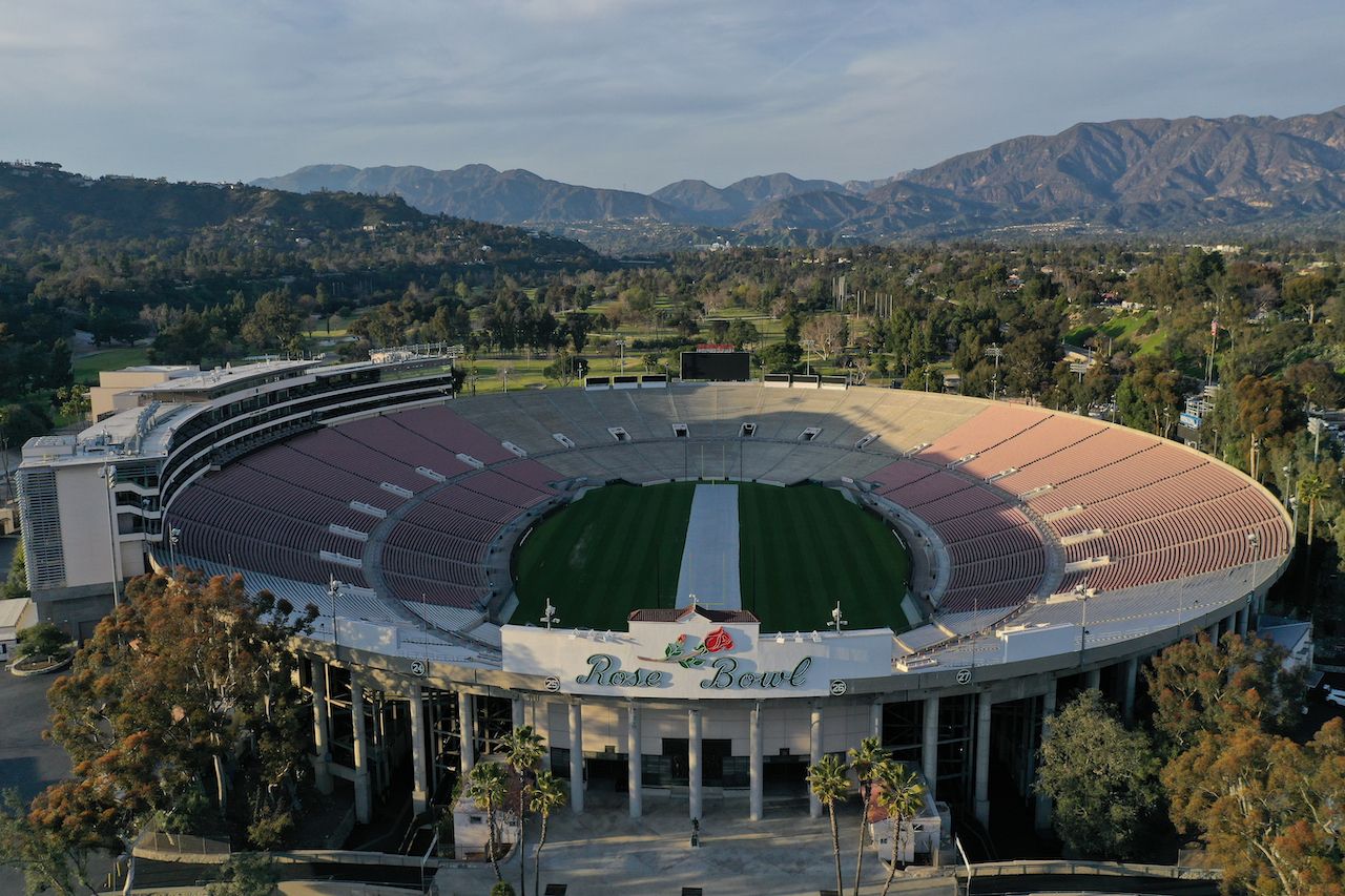
Photo: newsshooterguy/Shutterstock
The Rose Bowl and JPL — From downtown LA, take N. Verdugo Road to La Cañada. You’ll pass close to the Rose Bowl in Pasadena, and you’ll skirt alongside NASA’s Jet Propulsion Laboratory. You can tour the Rose Bowl, with its original 1922 locker room, starting at $17.50/adult; JPL tours are free although they require a three-week advanced booking. Before you head out, stop for coffee at Flintridge Bookstore.
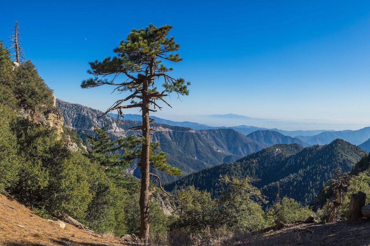
Photo: kenkistler/Shutterstock
Angeles National Forest — From La Cañada, take Angeles Crest Highway north and up, way up, past switchbacks and into Angeles National Forest, 700,000 acres of chaparral and pine and fir that top out 10,000 feet. Before you get that high, you’ll turn onto N3 towards Hidden Springs, where you’ll also find a campground.
Bitter Creek National Wildlife Refuge — You’ll connect onto Route 138 toward the Bitter Creek National Wildlife Refuge, home to Bitter Creek Canyon and a sanctuary for California condors. Bobcat, tule elk, and even mountain lions have been spotted here as well.
West Kern Oil Museum — Just north on 33, in Taft, you’ll find the West Kern Oil Museum. Maintained by volunteers, the museum contains old oil wells, antique cars, and other fun relics. It’s a tribute to California’s little-known oil history. In the early 1900s, together with Texas and Oklahoma, California was one of the country’s biggest oil producers.
Tumbleweeds — From Taft on Highways 33 and 46 you’ll pass through a flat, arid landscape — a tumbleweed or two perhaps blocking your way. An hour later you’ll arrive in Shandon, though you’ll wonder what on Earth a Hollywood icon was doing there in the first place.
James Dean Memorial — Here in Shandon is the James Dean Memorial, not far from the James Dean Memorial Junction at the intersection of Highways 46 and 41, where the actor had his fatal crash in 1955. The metal sculpture was made in Japan in 1977 to honor the actor.
Central California Wine Country — Now you’ll be headed north on two-lane roads through oak-dotted hills. In winter, the grassy hillsides won’t be a bright green; more likely you’ll find them the golden color that reflects the state’s name. You’re in the Central California wine country here, passing Parkfield Winery, Franciscan Estates, and Bear Valley Vineyards to name a few.
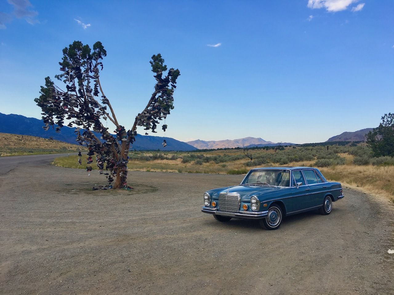
Photo: Sean Veale
Highway 25 — In another hour and a half from Shandon, you’ll hit Highway 25, which gets even windier and hillier. You’ll pass farms, ranches, and more stately oak trees, some hundreds of years old.
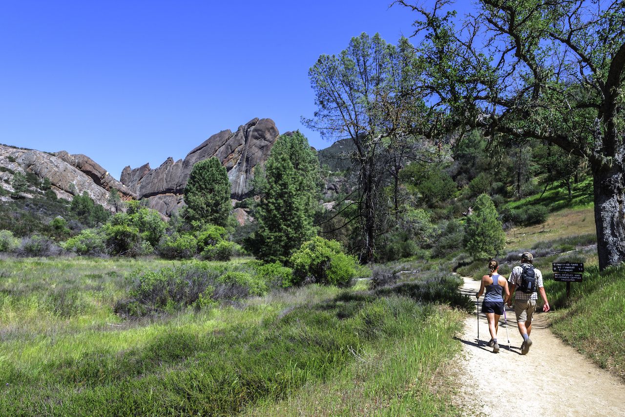
Photo: randy andy/Shutterstock
Pinnacles National Park — This park is home to condors soaring above the twisted rock spires that give the park its name. Hikes take you through talus caves, made by fallen rocks centuries ago and now home to several bat colonies. Two miles southeast on 146 will get you to the Pinnacles Visitors Center and another three will take you to the Bear Gulch Day Use Area, a jumping off point for several great hikes.
Gilroy — From here you’ll connect through Gilroy, better known to Bay Area residents for its fruit outlets and for its ubiquitous smell of garlic. Gilroy is the garlic capital of the world, hosting an annual garlic festival in July for 40 years running. (2020 will be the exception.)
Los Gatos — From Gilroy you cross through Los Gatos and Saratoga, some of the priciest towns in the Bay Area, where the homes of Silicon Valley tech billionaires hide behind mammoth hedges.

Photo: Sundry Photography/Shutterstock
Skyline Boulevard — Now you’ll head up into the Santa Cruz Mountains, where the landscape changes significantly. In addition to several species of oak, you’ll find Douglas fir and redwood trees here. You’re on Skyline Boulevard now, a roadway worthy of the name.
Alice’s Restaurant — Named for the Arlo Guthrie song, the restaurant “amid the redwoods” always has a collection of Harley Davidsons parked out front. On weekends, techies from the valley park their multi-thousand-dollar bicycles there in a break from their ride through the hills.
Lake Merced — Take Skyline Boulevard down towards the city of San Francisco. Your first sighting in the city will be peaceful Lake Merced, alongside Ocean Beach.
The eastern route: lakes, national parks, and the California Gold Rush
Most people never see the sliver of California that lies on the far side of the Sierra Nevada range. This routing takes you there — punctuated by the two most unusual lakes in California — but then cuts back west to take you through some of the state’s Gold Rush history. This drive is a long one, nearing 1,000 miles, so you can always opt to do only a portion of the drive. The whole stretch is for the person who truly loves to drive, like my brother, who drove here all the way to Oregon in a blue 1972 Mercedes.
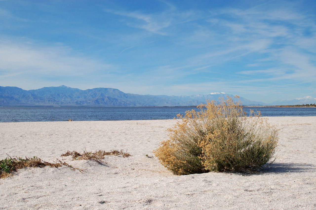
Photo: Lowe Llaguno/Shutterstock
Salton Sea — Drive from El Centro to the Salton Sea, which was created after a Colorado River dam overflowed in 1905. Today, the Salton Sea is one of the world’s largest inland seas, lying at 227 feet below sea level and measuring 45 miles long.
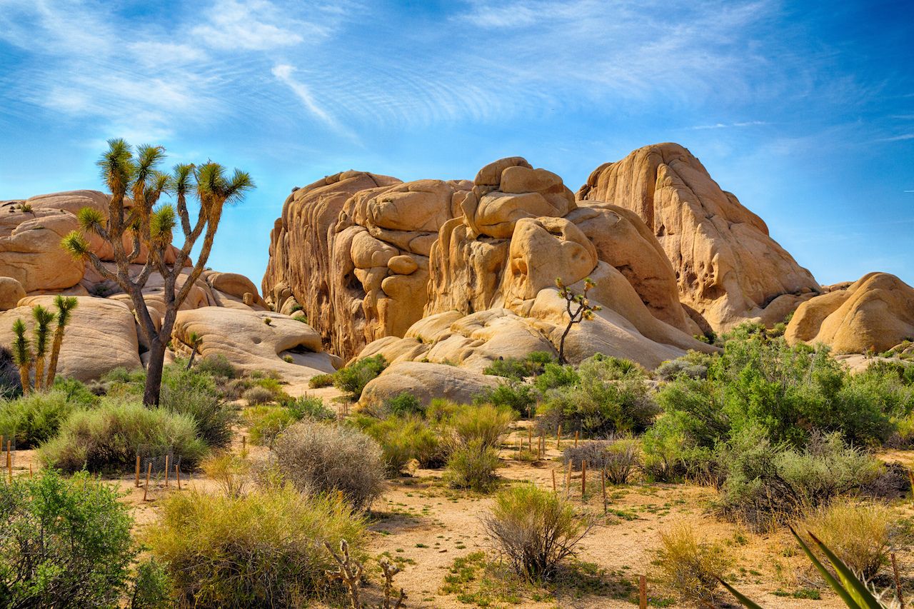
Photo: Gary C. Tognoni/Shutterstock
Joshua Tree National Park — One of the most unique parks in our country’s public lands treasure trove, Joshua Tree is named after its unusual, alien-esque trees, which are actually a member of the agave family.
Barstow — Once a mining town in the 1800s, today Barstow is home to several small museums, among them the Mojave River Valley Museums, the Western America Railroad Museum, and the Route 66 Museum.
I-395 North — You are on the highway here, but it’s one that doesn’t get much traffic. Heading north along the eastern side of the Sierra Nevada range, this stretch is home to the tallest peaks in the lower 48, many topping 14,000 feet. Depending on the time of year, the mountains will be capped in snow, a stark contrast to the high desert landscape you’ll be driving through, passing shrubs and sparsely populated towns with names like Independence and Bishop.
While you’ll have the one-million-acre Sequoia National Forest to your left, as you head north and into Inyo National Forest, the landscape gets even more interesting. (To visit Sequoia and Kings Canyon National Parks, you’d have to take an alternate route, since the entrance to them is only from the west.)
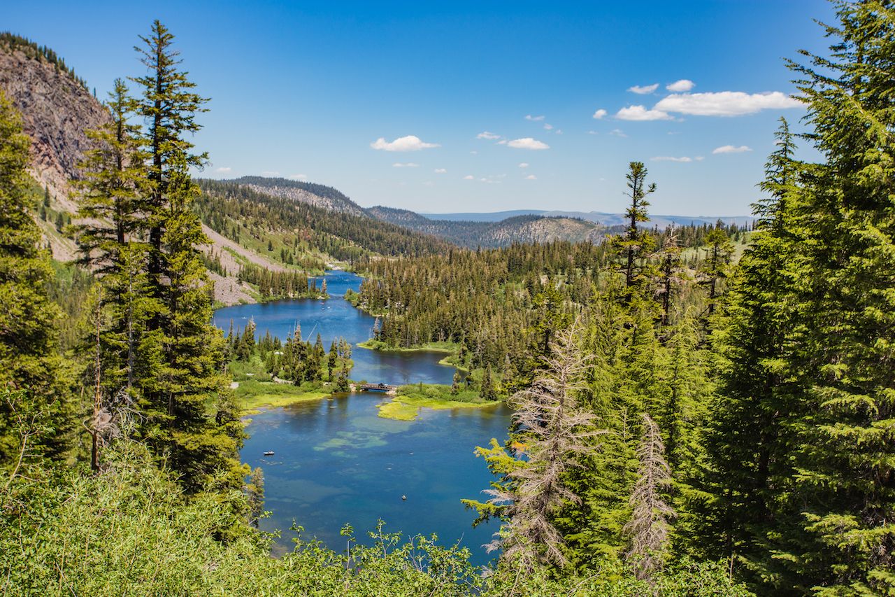
Photo: Oleg Bakhirev/Shutterstock
Mammoth Lakes — Mammoth Mountain is known as a ski resort, but in summer the area’s alpine lakes set against a stunning mountain backdrop are a great place to kayak, stand-up paddle, or just take some photos for the ‘gram on your way northward.
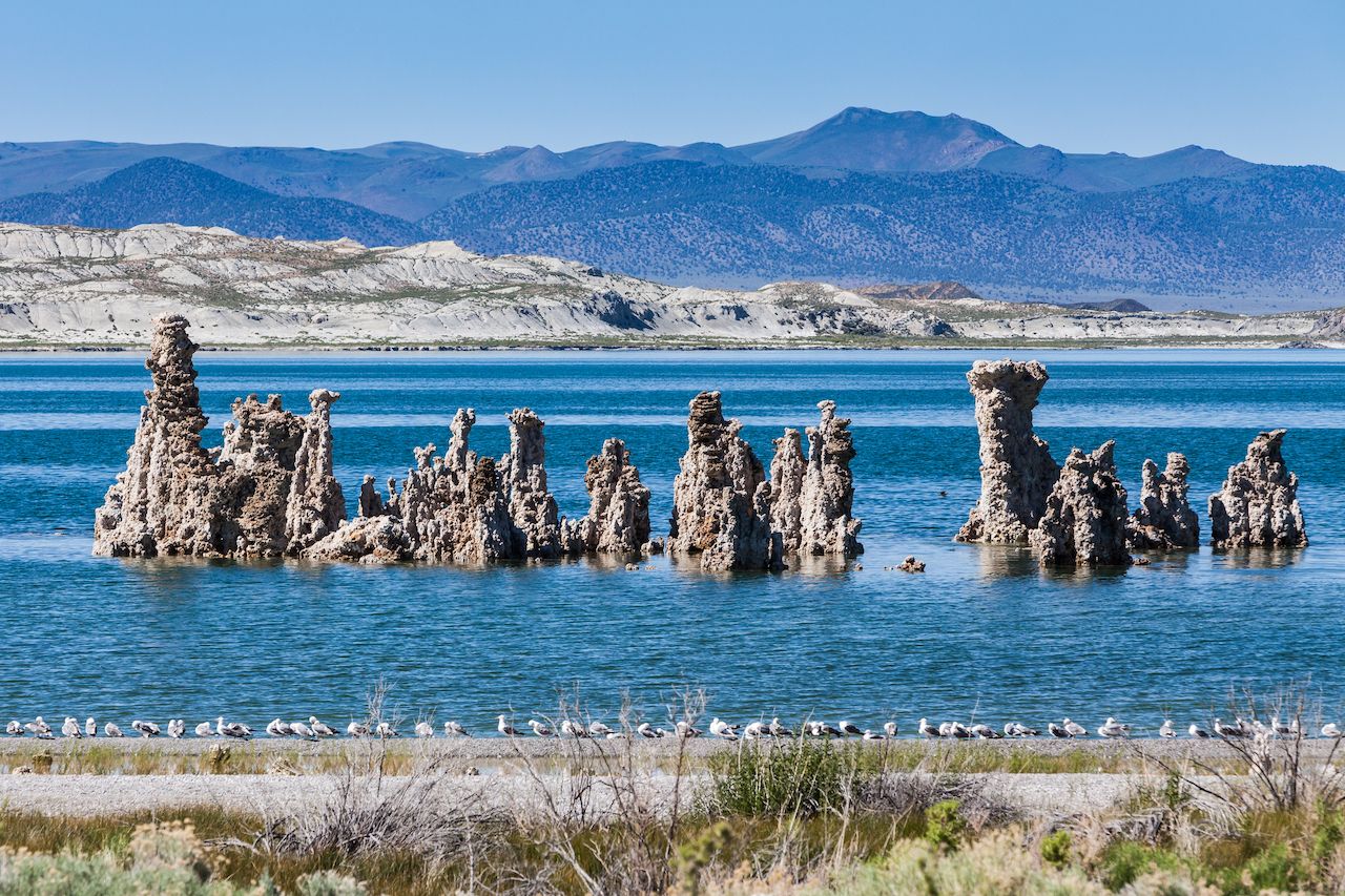
Photo: Oscity/Shutterstock
Mono Lake — Mono Lake is a sink lake with no inlets or outlets, created quite possibly by a volcanic eruption over 750,000 years ago and maintained by run-off from the Sierra Nevada range. It has weird limestone towers and columns known as tufa, and its extremely high saline levels support unusual brine shrimp and the millions of migratory birds that feed on them.
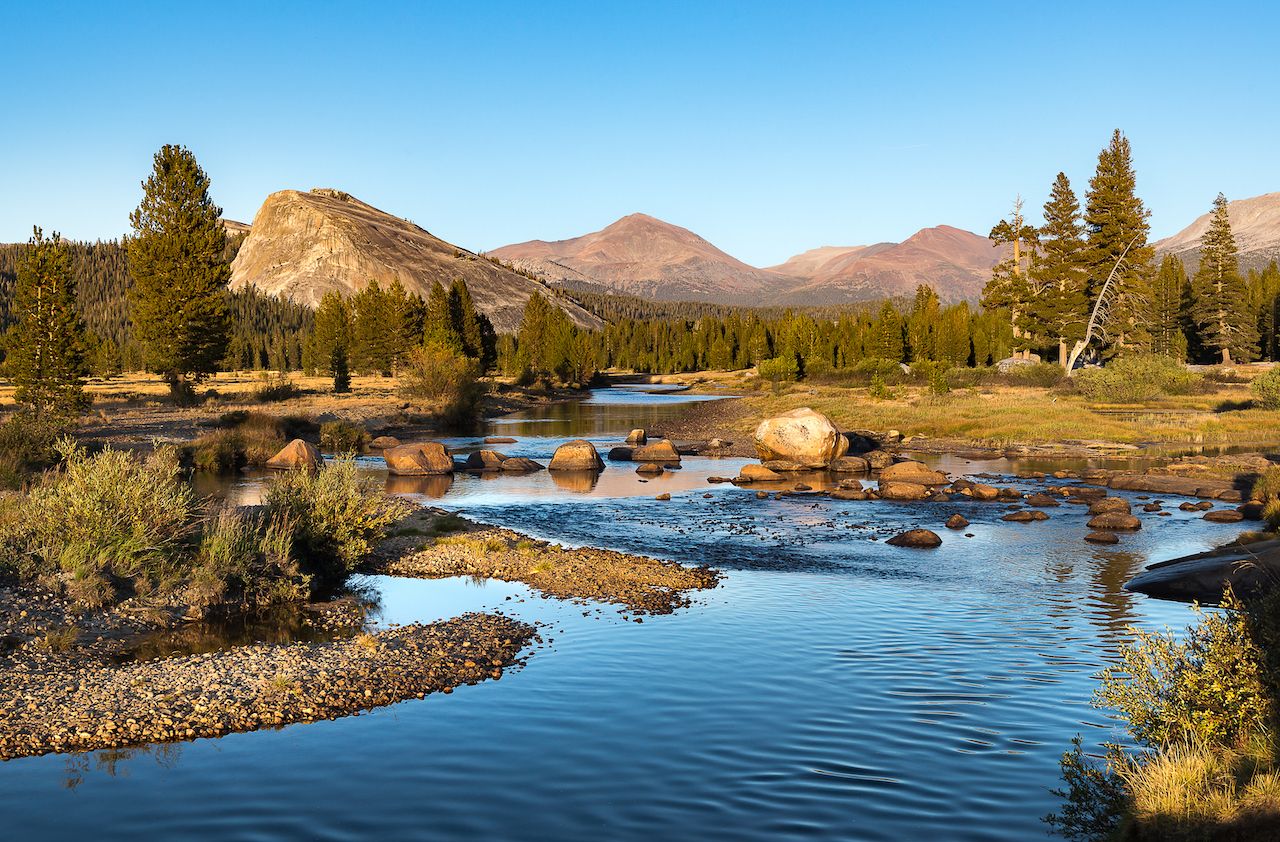
Photo: Pung/Shutterstock
Yosemite National Park — If it’s not the winter months, you can actually enter California’s most famous national park through its much less-used eastern gate. The entrance is 11 miles up Tioga Road from 1-395. If you want to take a detour, it’s a stunning drive up the backside of this mighty mountain range, past two piercingly blue lakes, towards the sub-alpine Tuolumne Meadows area of Yosemite.
Stanislaus National Forest — When you hit Fales Hot Springs at over 7,000 feet, turn west onto 108 and drive through the Stanislaus National Forest. You’re entering Gold Rush country here.
Sonora — Here, you’ll find the Tuolumne County Museum in a former jailhouse. You could detour north to Columbia State Historic Park, which is a preserved town from the Gold Rush days. Then you’ll head north on Highway 49, named for the 1849 Gold Rush that turned San Francisco from a town into a major city — and that forever changed the state of California.
Angels Camp and Mark Twain — Just beyond Sonora up Highway 49 is Angels Camp, where — if you happen to be there in May — you might catch a frog-jumping event in honor of Mark Twain’s first short story, “The Celebrated Jumping Frog of Calaveras County.” The story, which won Twain literary acclaim, is based on a story he heard in an Angels Camp bar when he lived there hoping to find gold.
Gold Rush Country — In Placerville, tour a gold mine that dates to 1888. Further on, Grass Valley has its own historic gold mine, Empire Mine, and the North Star Mining Museum. If you’re there in March, you can watch the St. Piran’s Day events, which commemorate the miners from Cornwall who settled here over 150 years ago.
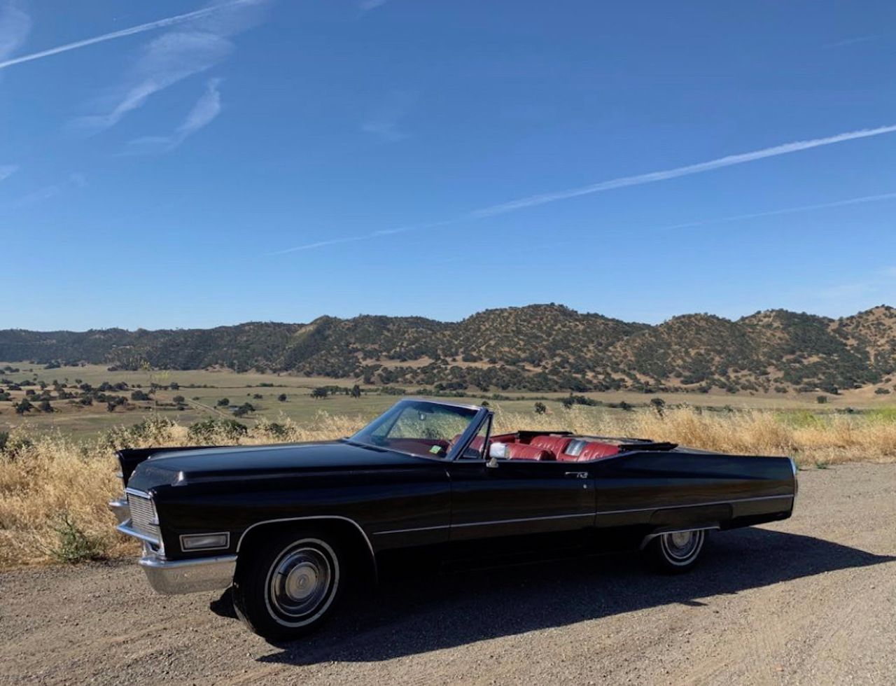
Photo: Sean Veale
Doyle — The only reason to pop over to Doyle is to see a tree full of shoes — and maybe to add a shoe or two onto the tree yourself. And then to snap a picture of your car by the tree. But that sounds like reason enough.
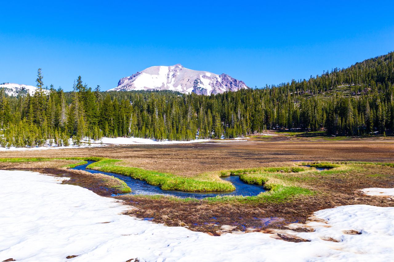
Photo: travelview/Shutterstock
Lassen Volcanic National Park — After you’ve traveled 18 hours and seen a shoe tree, do you really need anything else? Well, head a bit further on to be wowed by the geysers, lava rocks, and forested alpine peaks of Lassen National Park. It’s the ultimate reward after an unusual drive up the little-known roads of this well-known state.
Sonoma County: the Bohemian Highway, vineyards, and a crazy route to the coast
Once you head north of San Francisco, you’re still 370 miles from Oregon, which is to say that there’s a whole lot of land up there and not a lot of people. Get off the major highways, and you’ll ride the narrow, winding roads flanked by farms, vineyards, or forests. And you don’t need to go too far north to find them. This particular road trip starts just 40 miles north of SF, takes you through Sonoma County, and showcases the best of Northern California: wine country, hippie towns, and the sea — all the while keeping the roads lush and wooded. This drive takes three-and-a-half hours, but you can break it up with strolls or meals in picturesque Sonoma towns.
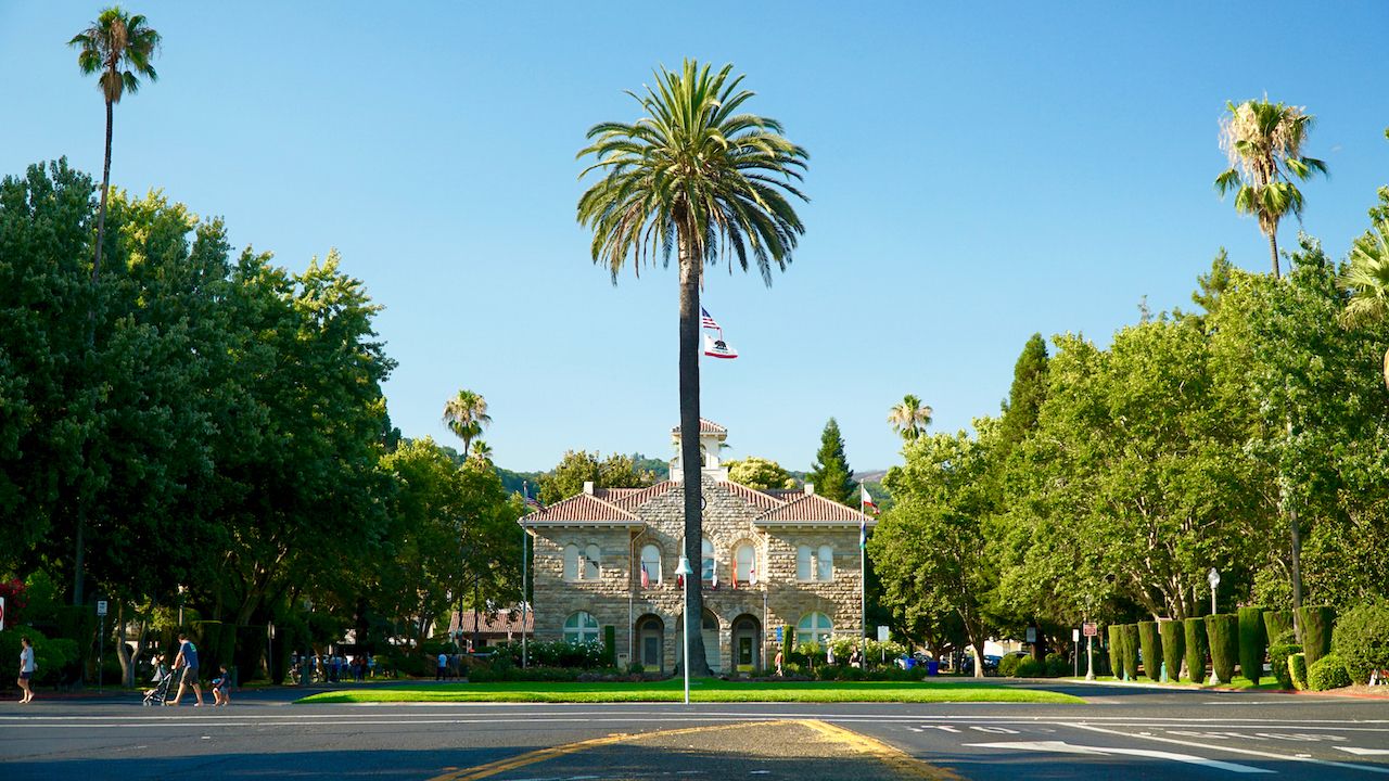
Photo: Colin Braaten/Shutterstock
Sonoma — This photogenic town in the heart of Sonoma wine country is best known for its large, tree-dotted plaza surrounded by restaurants and shops. Grab a coffee at the Basque Boulangerie Cafe to get ready for your drive.
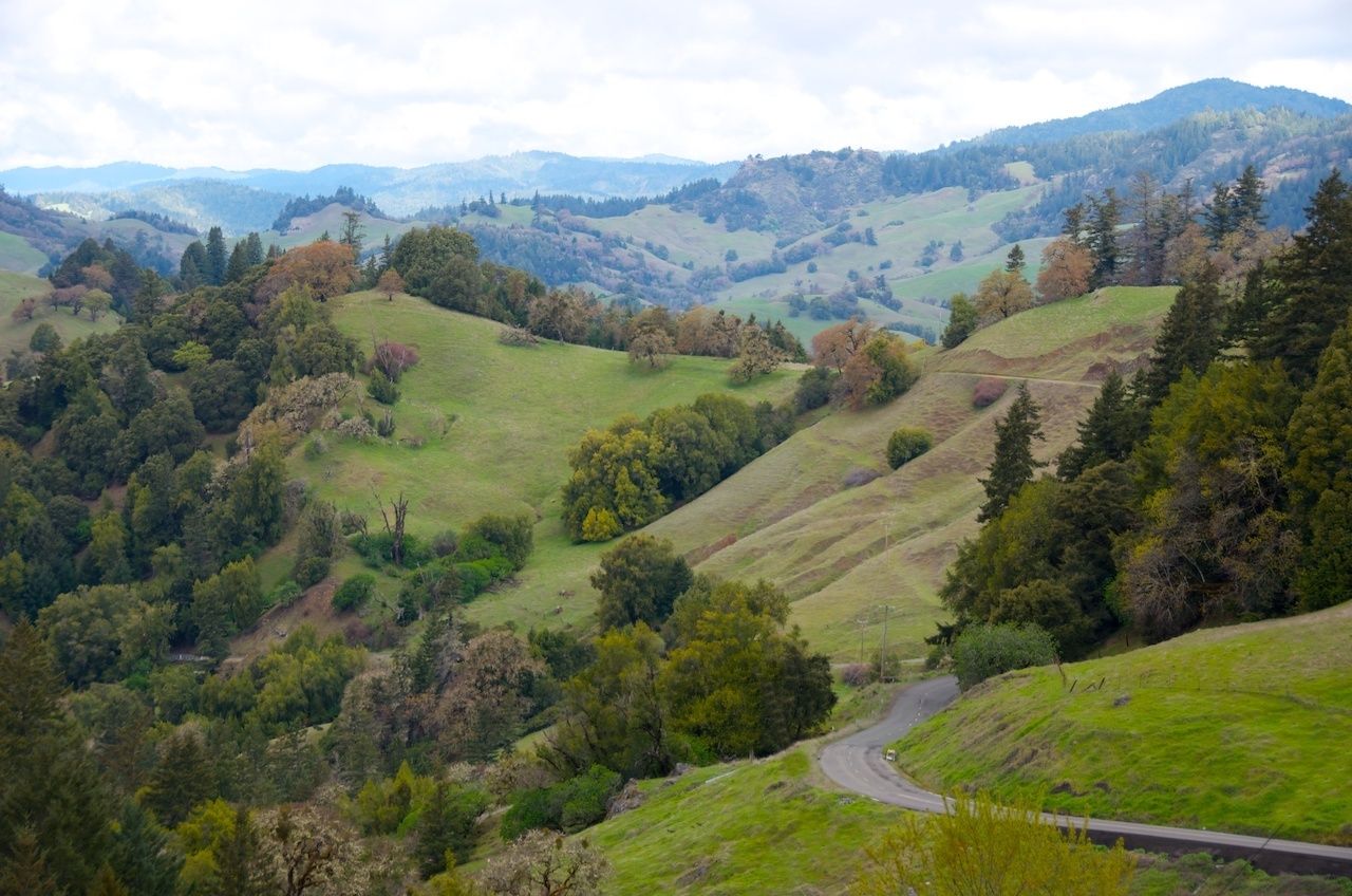
Photo: Candia Baxter/Shutterstock
Glen Ellen — Glen Ellen feels so hidden away in the wooded hillsides that it feels like a place you’d never pass by if you weren’t specifically trying to get there.
Sebastopol — The road to Sepastapol takes you past picturesque, almost-European-looking barns and apple orchards. It’s one of the most scenic drives in the area.
Freestone — This is your first stop on the Bohemian Highway, named for the Bohemian Club, an all-male club that was founded by artists and journalists in 1872. (Nowadays that same club still meets, but it’s more a reflection of SF old money.) The counterculture vibe that inspired the Bohemian Club lives on in the hippie towns along this 10-mile stretch. You’ll pass redwoods, vineyards, organic farms, and plenty of funky houses.
Occidental — This impossibly charming town tucked amidst the redwoods is a great place to stop, especially for lunch at the Union Hotel Restaurant. Or pick up a coffee and scones (regular or gluten-free) at Wild Flour Bread and save lunch for Healdsburg.
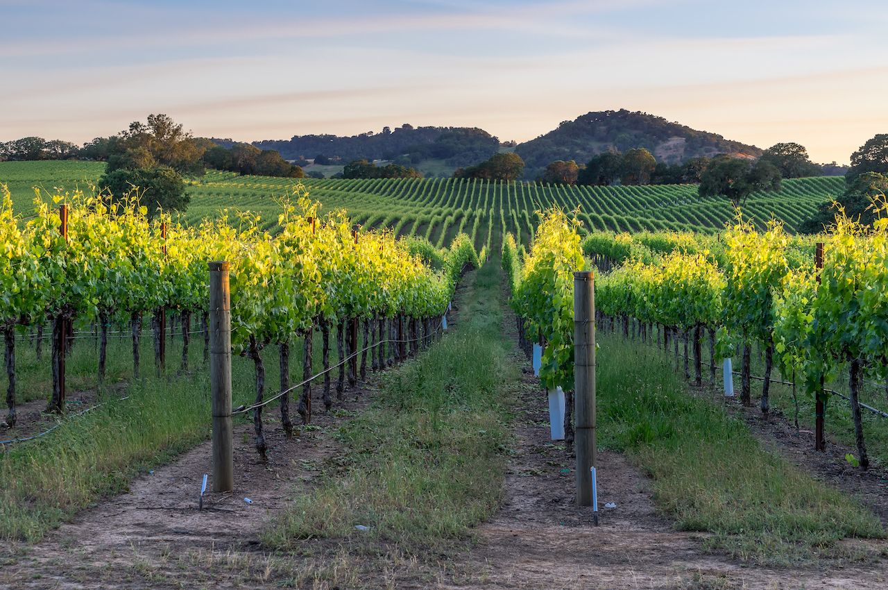
Photo: Alexandra Latypova/Shutterstock
Healdsburg — Work your way past the vineyards on Westside Rd. until you get to Healdsburg, its own wine country town with a much smaller plaza and a more intimate feel than Sonoma. Have lunch at The Shed, or pick up a fantastic cup of caffeine at Flying Goat Coffee.
West Dry Creek Road — This narrow road hugging one side of a hill takes you from one winery to another. You could take it all the way to Bella Winery to check out its cave and pick up some bottles of Zinfandel and then double back to Skaggs Spring Road.
Skaggs Spring Road — Now you get to enjoy, or gasp at, one of the many east-west roads that runs across the northern half of the state, each one seemingly narrower and twistier than the one before it. This is truly a road for someone who loves to drive. You’ll wend from one blind turn to another, passing redwoods, crossing rivers, and spotting deer on the side of the road. It feels more like a hiking trail than an automotive road, so roll down the windows and enjoy the forest air.
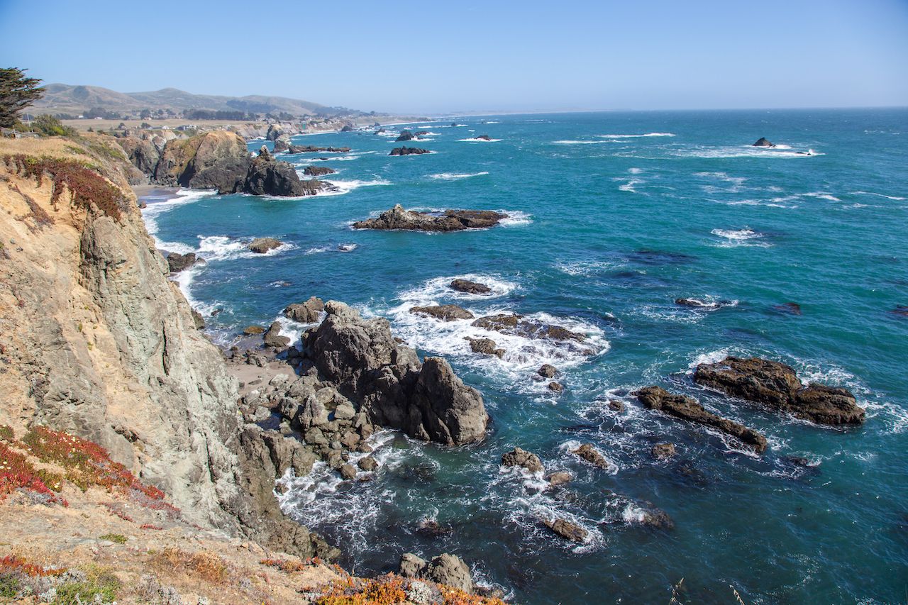
Photo: Radoslaw Lecyk/Shutterstock
Stewarts Point — You’ve reached the stunning, rugged coastline of Sonoma County. Bays, bluffs, and inlets make up the area. You can hike just up north in Sea Ranch or at Salt Point State Park due south. Or head down south to Jenner, turn back eastward, and take Route 116 back through the forests and farmlands to Sebastopol. ![]()
More like this
The post Road-tripping on California lanes you’ve never heard of appeared first on Matador Network.
from Matador Network https://ift.tt/3g7ufAw

Post Comment
No comments